A tropical disturbance in the southwestern Gulf of Mexico has a 40% chance of cyclone formation and could bring heavy rainfall, rip currents, and stronger winds to parts of Southeast Texas this weekend, forecasters say.

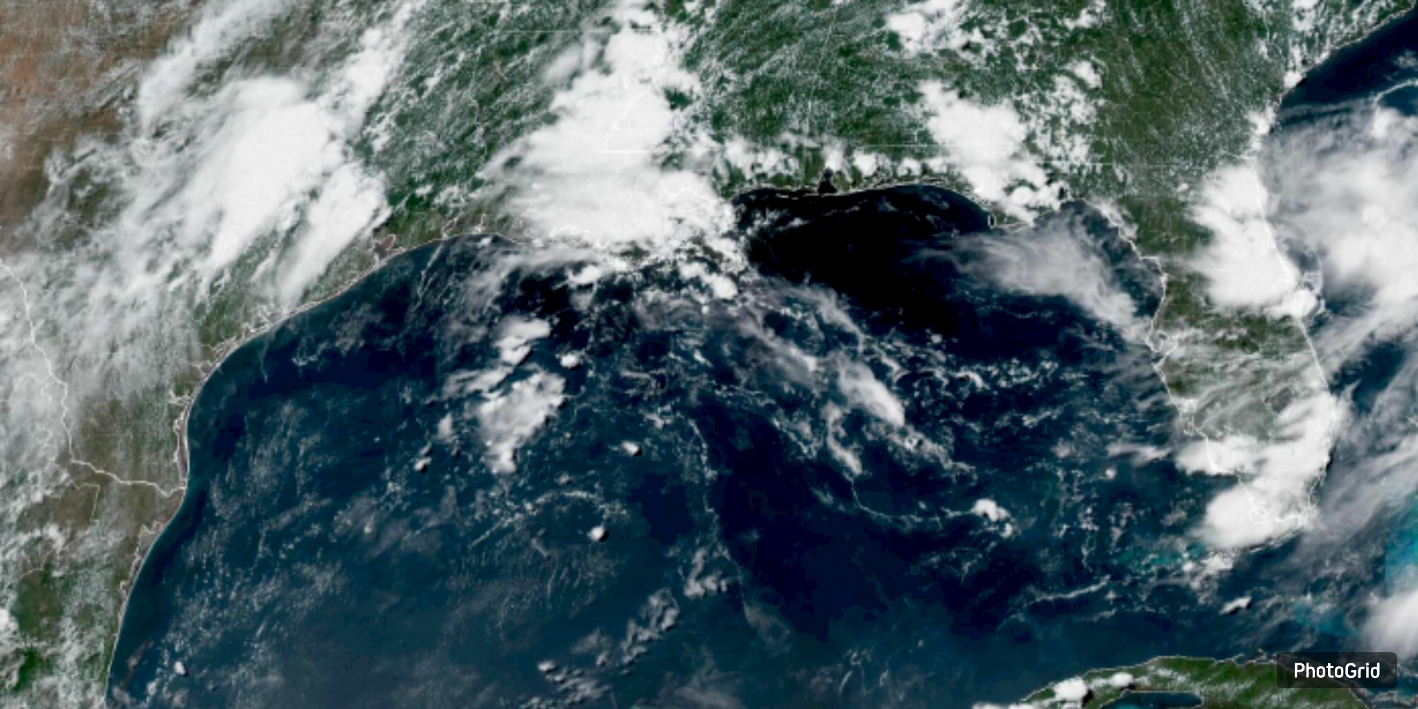
The National Weather Service warns people who live in coastal areas along the Texas Gulf Coast to get ready for what a tropical storm could bring. The National Weather Service says there is a 40% chance that a low-pressure system in the Bay of Campeche will become a named storm in the next 48 hours.
A storm is moving west-northwest, and by late Friday or early Saturday, it could hit land in northeastern Mexico or southern Texas. Even though there is little chance that the storm will intensify significantly, it is expected to bring heavy rain and dangerous conditions along the coast.
People who live in Houston, Galveston, and other Gulf Coast cities should be careful on Friday and Saturday because it is likely to rain 30% to 65% of the time. Weather forecasters say that the storm will bring stronger winds, rough seas, and a higher risk of dangerous rip currents along the coast all weekend.
Bradley Brokamp, a meteorologist at the NWS Houston-Galveston office, said that the current conditions do not allow the storm to produce anything other than rain and rip currents.
The local power company, CenterPoint Energy, stated that it is closely monitoring the situation and is prepared to take action if necessary.
Tropical Storm Erin is moving in a way that is different from other weather systems: it is tracking its path in the Atlantic. Forecasters think that Erin will become the first hurricane of the 2025 season by Friday. Over the weekend, it will hit the northern Leeward Islands, the Virgin Islands, and Puerto Rico. Erin will likely stay away from the Gulf of Mexico.