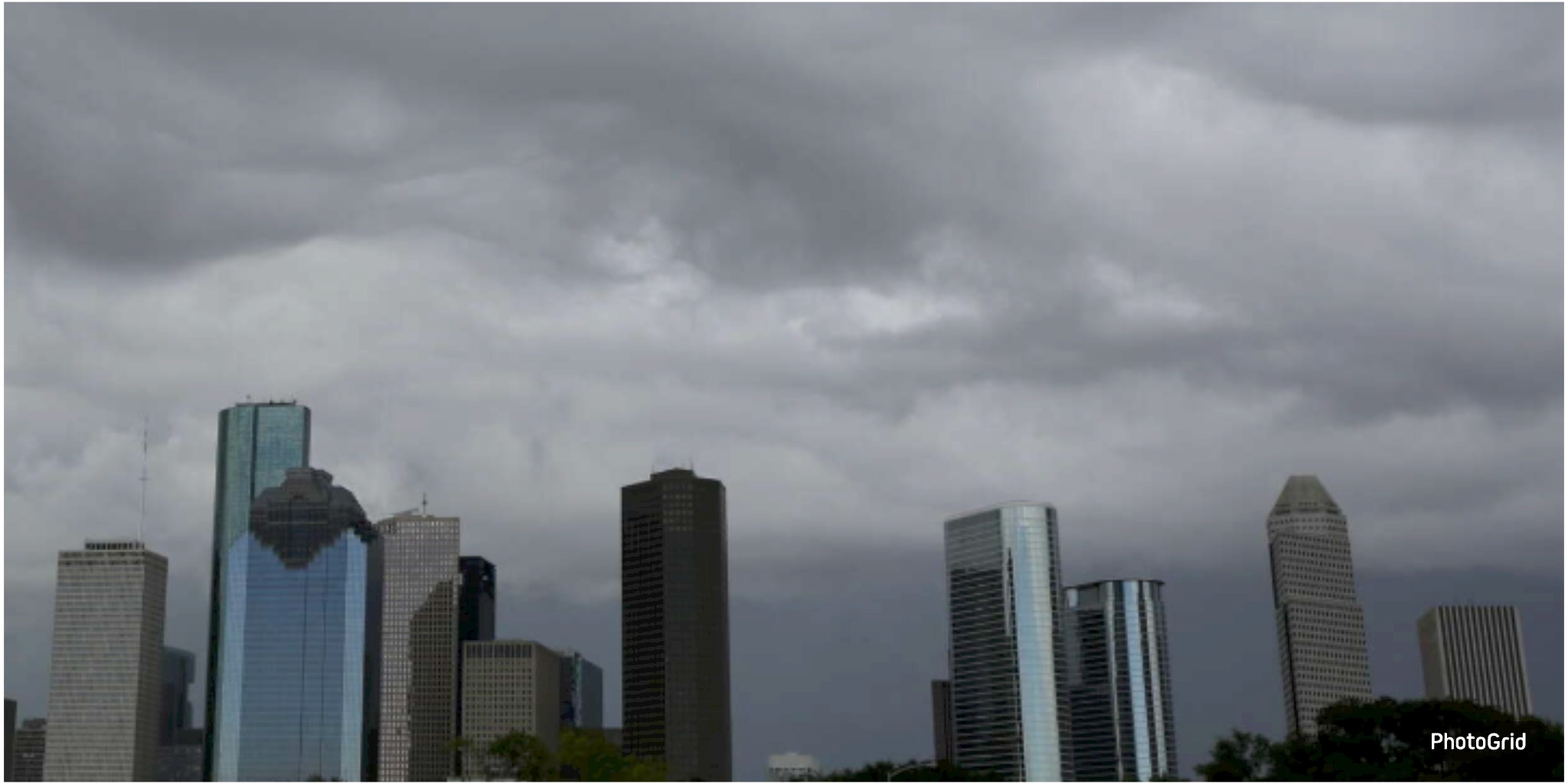
Houston is facing an unsettled weekend weather pattern with increased rain and storm chances, potential localized flooding, and lingering Saharan dust across the tropics. A stalled cold front could be the wildcard.

As the weekend approaches, Houston's weather is poised to shift towards a more tumultuous pattern, signaling the arrival of stormier conditions.
As Friday unfolds, there is a reasonable possibility of scattered thunderstorms in the afternoon and evening. However, the chance of more intense rain on Saturday and Sunday raises more urgent concerns for the weekend.
A weak cold front is on track to approach Southeast Texas, with plans to stall near or just north of the Houston metro area. The positioning of this front is crucial in shaping the strength and reach of the storms expected this weekend. Current models indicate a humid, unstable atmosphere, which is poised to unleash widespread showers and isolated thunderstorms over the coming days.
As thunderstorms form, there is potential for intense rainfall in brief bursts. In a recent update, the National Weather Service has declared a level 1 out of 4 risk for isolated street flooding throughout a significant portion of Southeast Texas, with the Houston area being notably affected. Authorities are advising community members to stay vigilant regarding weather conditions and to adhere to the safety guideline of "Turn Around, Don’t Drown" when faced with flooded roads.
As the front approaches, a shift to slightly cooler temperatures is on the horizon. However, for now, residents can anticipate the continuation of muggy and humid conditions throughout the weekend.
Amid ongoing developments, the Atlantic is experiencing a notable calm, attributed to the extensive coverage of Saharan dust that has enveloped a significant portion of the tropical basin. As the dust lingers in the atmosphere, it effectively hinders the formation of storms, leading to a notably quiet start for the 2025 hurricane season. Yet, experts caution that this period of calm is unlikely to endure.
As August approaches, particularly around the middle of the month, the atmosphere in the tropics is expected to shift, creating a more conducive environment for storm formation. In light of a potential increase in activity, residents are urged to revisit their hurricane preparedness plans.
This weekend, be prepared with your umbrellas, stay updated on the forecast, and remain vigilant for swiftly shifting weather patterns. Although severe storms are not anticipated, the possibility of brief downpours and localized flooding suggests that vigilance is necessary this weekend.